Voir Play


Flattened images

SAFEGUARDING BUILT HERITAGE

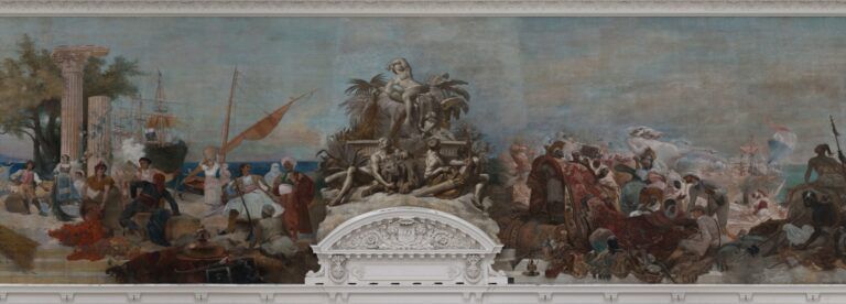
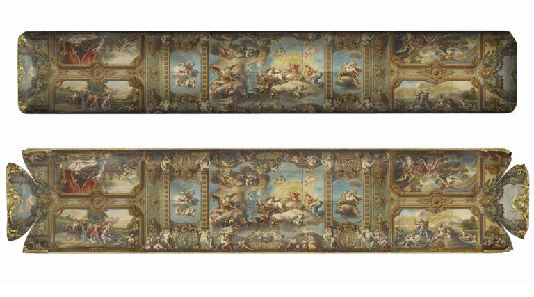
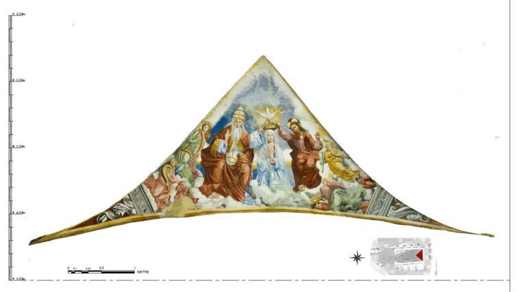
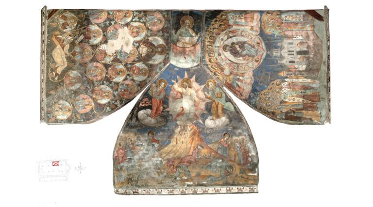
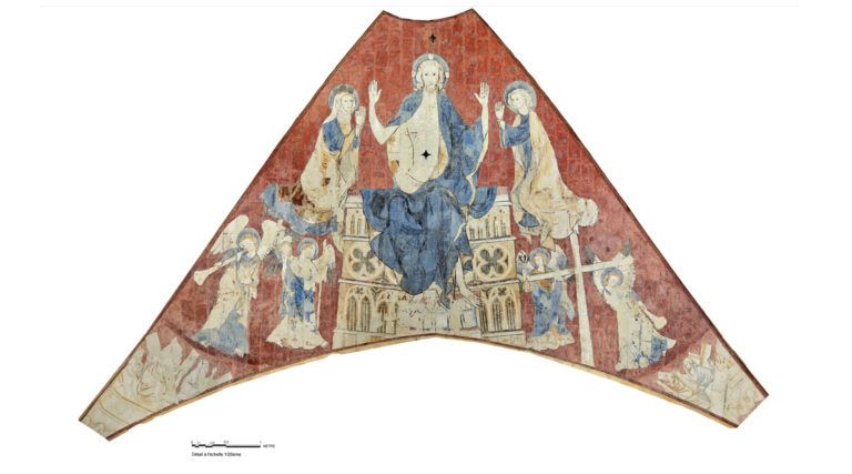
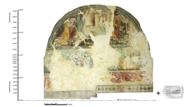
Flattened images are generally used for restorations and to locate weaknesses. They are a type of high-quality technical documentation used to flatten surfaces with a complex geometry. AGP produces flattened images of simple surfaces but can also produce more complex ones of domes, semi-domes or spherical surfaces.

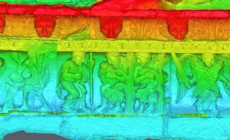
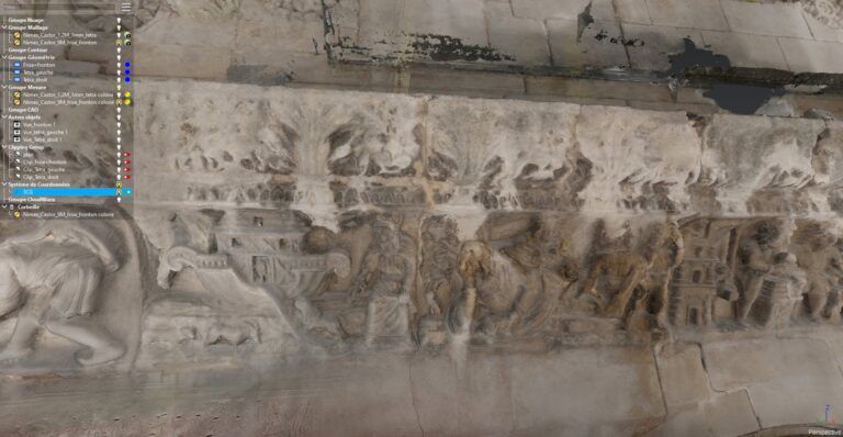
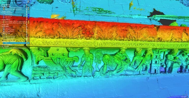
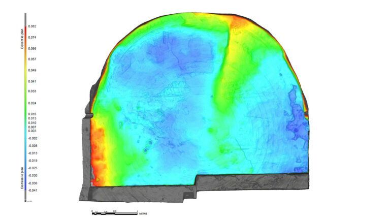
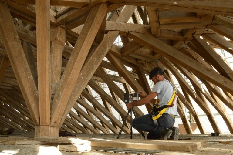
After a 3D scanning data acquisition phase of the surfaces in question, we move on to different stages in processing: 3D model production, transformation model definition, development of the various sub-models and final model production.

Thanks to the know-how of our teams here at Art Graphique & Patrimoine, we can represent the most complex geometric shapes, even combined ones, with surface flattening carried out by specific programs developed by R&D.


Deformation maps

IDENTIFYING BUILDING WEAKNESSES

Deformation maps form part of the technical documents we produce to preserve and restore built heritage. Using these maps, we can observe deformations, buckling, settlement and cracks in parts of a building. These maps are essential for understanding and analysing the nature of building disorders. Once we have scanned the surface to be studied, we can compare the resulting map with a relative map. The coloured areas represent altimetric variations in relation to the relative map.


Precise, high-quality measurement services

HERE TO PRESERVE HERITAGE

Start a project

Want to
work with us ?

We are here for you. We’ll provide comprehensive answers to your questions, listen to your needs and support you every step of the way.